Satellite Technology in Disaster Management: Satellite technology has become a mainstay in modern disaster management, providing critical data for response and recovery efforts during crises. Equipped with an array of sensors, satellites can monitor Earth’s surface and atmosphere, offering continuous, real-time insights that are invaluable when natural or man-made disasters strike. Their ability to cover wide geographical areas and operate under almost any weather conditions allows for the swift assessment of affected regions, aiding in efficient allocation of resources and planning of rescue operations.

Integrating satellite technology into the disaster management cycle enhances the effectiveness of preparedness, response, recovery, and mitigation strategies. High-resolution imagery and communications capabilities provided by satellites support emergency services in coordinating on-the-ground efforts, significantly reducing the time it takes to respond to events. Meanwhile, advancements in satellite applications are constantly evolving, with new innovations offering even more precise data to tackle the growing challenge of climate change and its associated disaster risks.
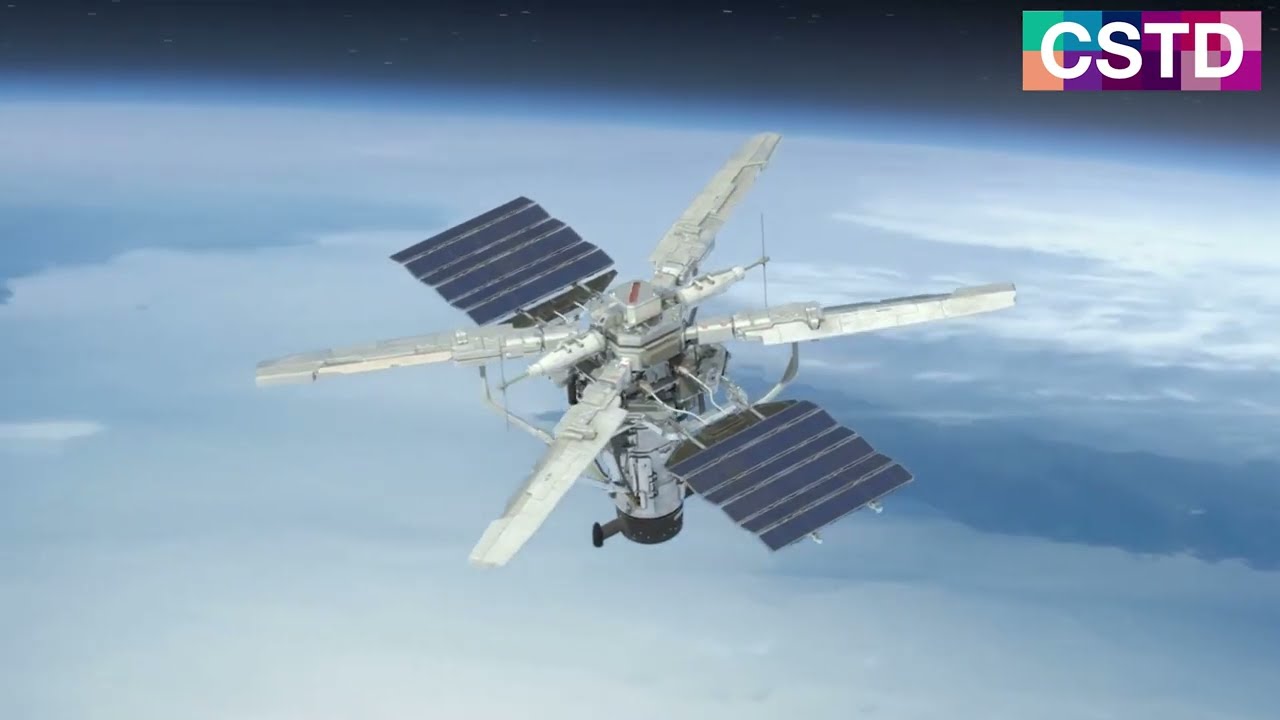
Satellite technology is integral to modern disaster management, offering critical data for timely and effective response. Its foundations lie in the complex interplay of hardware, sensor technology, and data analysis.
Satellite remote sensing is the process by which satellites collect information about Earth without direct contact. It involves the detection and measurement of energy patterns reflected or emitted by the planet’s surface and atmosphere. Satellites equipped with remote sensing instruments gather data across various spectral bands, which can be utilized for numerous applications including environmental monitoring, resource management, and assisting in disaster relief efforts.
Synthetic Aperture Radar (SAR) operates on the principle of radar technology. It uses the motion of the satellite to simulate a large radar antenna or aperture electronically, which generates high-resolution images of the Earth’s surface. SAR is capable of penetrating clouds and is not impeded by lighting conditions, making it highly valuable for earth observation under any weather conditions, day or night.
Recent advancements in Earth observation technologies have seen significant improvements in the quality and availability of satellite data. High-resolution optical sensors, hyperspectral imaging, and enhanced data processing techniques have increased the precision and utility of satellite-based observations. These improvements have catalyzed the growth of application areas, particularly in the field of disaster management, where comprehensive and accurate data is crucial for effective response and preparedness.
Integrating satellite technology into the disaster management cycle enhances early warning systems, improves coordination during emergency response, and supports recovery and reconstruction efforts.
The use of satellite remote sensing plays a pivotal role in early warning systems, providing critical data that helps predict natural disasters. These systems capitalize on the ability of satellites to monitor Earth’s surface and atmospheric conditions, leading to timely alerts that can minimize the impact of impending hazards. For instance, Sentinel Asia utilizes satellites to support disaster risk reduction by mapping areas prone to disasters and implementing early warning systems.
During an emergency, coordination between various response teams is crucial, and satellite technology is instrumental in this phase. Satellites facilitate real-time communication and the sharing of accurate geospatial data among first responders, thereby enhancing the effectiveness of disaster management support. The International Charter Space and Major Disasters provides a clear example of international cooperation, wherein member organizations use satellite imagery to assist in the efficient coordination of response efforts.
In the aftermath of a disaster, recovery and reconstruction are essential to return affected areas to normalcy. Satellite remote sensing aids in assessing damage and monitoring the rebuilding process, ensuring that recovery efforts are well-planned and managed effectively. The detailed images and data from satellites assist governments and aid organizations to better understand the extent of the damage and to prioritize reconstruction efforts to rebuild infrastructure and restore communities.
Satellite technology plays a crucial role in enhancing disaster management capabilities. This section examines specific case studies where satellite data has been instrumental in tracking cyclones, analyzing landslide susceptibility, and managing wildfire risks.
Sentinel Asia is a collaborative initiative leveraging satellite technology to improve disaster management, particularly in tracking and analyzing cyclones. A case study on the application of Sentinel Asia highlights its role in providing accurate and timely data for tracking cyclone paths. The program’s use of multispectral imaging allows for the detailed observation of weather systems, enhancing forecast accuracy and preparedness measures.
Synthetic Aperture Radar (SAR) data are pivotal in landslide analysis. The technology’s ability to penetrate cloud cover and provide high-resolution images is invaluable for monitoring landslide-prone areas and detecting ground movement. SAR data’s role in a landslide case study demonstrated the potential for improving early warning systems and risk assessment models, thereby reducing potential damages and enhancing response strategies.
Wildfires present a global threat with immediate and long-term environmental consequences. Satellite technology enables comprehensive wildfire surveillance, supporting the detection of hotspots and the progression of fires in real-time. This surveillance supports the development of effective mitigation strategies, allowing for informed decision-making and resource allocation to control and prevent wildfire spread, as observed in successful wildfire management case studies.

Satellite technology plays a crucial role in the timely monitoring and effective management of climate-change-induced disasters. By leveraging these advanced tools, we can gain valuable insights to bolster disaster prevention and enhance preparation strategies.
Satellite technology has transformed our ability to observe the Earth, leading to a more nuanced understanding of climate change. Through satellite remote sensing, scientists detect changes in land surface temperatures, sea levels, and ice cap melting rates, providing quantifiable data on the rate of climate change. These observations are vital for developing accurate climate models and for understanding regional and global environmental shifts. Satellite imagery has been pivotal in identifying vulnerable ecosystems and assessing the impact of extreme weather events with greater precision.
The application of satellite technology extends to forecasting and disaster preparedness. By analyzing weather patterns from space, satellites enhance our capability to foresee natural disasters and predict their potential impacts. This foresight translates into better-informed evacuation plans and more efficient resource allocation, potentially saving lives and reducing economic losses. Satellite imagery assists in mapping disaster-prone areas, allowing governments and organizations to devise robust preparedness plans. For instance, advanced warning systems can alert populations to impending floods, landslides, and other climate-related threats, facilitating timely evacuations and proactive disaster management efforts.
The integration of cutting-edge technologies like AI, IoT, drones, and innovative image processing techniques represents a significant leap in disaster management efforts.
Artificial Intelligence (AI) and the Internet of Things (IoT) have significantly transformed the landscape of disaster management. AI algorithms enhance the analysis of large datasets from IoT sensors for real-time monitoring and risk assessment. For instance, AI-driven analytics of climate data can offer insights into disaster predictions and trends, while IoT devices facilitate the rapid deployment of emergency services.
Drones and Unmanned Aerial Vehicles (UAVs) provide invaluable assistance during and after disasters. They are utilized for aerial surveillance to assess the damage, search for survivors, and deliver essential supplies to impacted areas. The integration of these devices in disaster management has proven crucial in enhancing response times and managing natural disasters more effectively.
Advancements in image processing have bolstered the ability to analyze and interpret disaster-related data. High-resolution images from satellites can be processed using sophisticated algorithms to map affected areas, analyze the extent of destruction, and support rebuilding efforts. These techniques allow for more precise and efficient disaster management support through enhanced situational awareness and decision-making.
In times of crisis, the ability to communicate is paramount. Satellite communications play a crucial role in maintaining connectivity and aiding emergency response efforts when traditional systems fail.
Satellite communications are often the most reliable means of staying connected during a disaster. When terrestrial networks are compromised due to extreme weather events or other emergencies, satellites provide a critical link for emergency response teams. They allow for real-time coordination among first responders and facilitate the flow of vital information to affected populations.
During power outages, satellite technologies come to the forefront as key enablers in restoring communications. They offer a rapidly deployable infrastructure that can substitute for damaged cell towers and other local network systems. The inherent resilience of satellite systems makes them essential in re-establishing contact and coordinating relief efforts in the wake of power interruptions.
Satellite technology plays a crucial role in global disaster management efforts, guided by comprehensive frameworks and policies. These ensure effective coordination and use of space-based assets in response to crises.
The Sendai Framework sets the international standard for reducing disaster risk and operates from 2015 to 2030. It priorities understanding disaster risk, strengthening disaster risk governance, and investing in resilience as fundamental to enhancing the use of satellite technologies in disaster scenarios. Under the Sendai Framework, satellite data is utilized to monitor risks and provide critical information during all disaster management phases, from preparedness to recovery.
Space agencies around the world collaborate to support disaster management. The Charter on Space and Major Disasters is an initiative providing satellite-derived data and analysis during emergencies to assist humanitarian relief efforts. Agencies like NASA, ESA, and others work together through this and other programs to ensure information is shared promptly and effectively with those in need. This cooperation enhances the precision and speed at which assistance can be directed, showcasing the immense potential of satellite technology in global disaster response strategies.

The integration of innovative satellite technology is revolutionizing disaster management. Upcoming advancements promise to refine our abilities to predict and respond to natural disasters with unprecedented precision and speed.
Next-generation satellites are poised to dramatically increase the efficiency of disaster management efforts. Enhanced features including higher-resolution imaging and real-time data transmission enable quicker and more accurate assessments of disaster-impacted areas. In particular, the development of satellites equipped with synthetic aperture radar (SAR) could offer vital insights into flash floods and hurricane monitoring. SAR technology has the unique ability to provide clear images regardless of weather conditions or time of day, making it an invaluable tool for emergency responders during critical moments.
Kenya has witnessed the implementation of satellite technology in combating natural disasters. Space agencies, in collaboration with Kenyan authorities, have utilized Earth observation satellites to monitor and manage the impact of extreme weather events. For instance, satellite data was crucial in the disaster management of severe flooding in Kenya, aiding in the evacuation of vulnerable populations and the allocation of resources. The information gathered not only assisted in immediate relief efforts but also contributed to long-term recovery and planning, reducing the detrimental impacts of future disasters.

Satellite technology has significantly reinforced disaster management efforts. By providing timely and accurate data, satellites enhance the capacity to predict, monitor, and respond to natural disasters. Deploying satellites for disaster management aligns with the objectives of sustainable development, aiming to minimize human and economic losses.
In compiling diverse case studies, the synergistic role satellite technology plays in pre-disaster planning and post-disaster recovery emerges. Space-based assets aid in efficient resource allocation, infrastructural damage assessment, and in coordinating relief operations, thus reducing response times and mitigating impacts.
Looking ahead, it is imperative that advancements in satellite technology continue to integrate with disaster management practices. Continuous innovation will be crucial in developing more sophisticated tools for hazard assessment and decision-making. Moreover, fostering international collaborations can improve accessibility and application of satellite data for countries at various development stages.
Ultimately, the potential of satellite technology in disaster management is immense. With each technological stride, societal resilience against natural calamities strengthens, laying a foundation for safer, more sustainable development paths. Satellite technology will remain an invaluable asset in the quest to build disaster-resilient communities worldwide.
Satellite technology plays a pivotal role in managing natural disasters by providing critical information for prevention, response, and recovery efforts. Advancements in space technology continue to enhance disaster risk reduction strategies and the potential for future innovations promises even greater resilience.
Satellites offer real-time data and imagery that enable authorities to monitor environmental changes and predict possible disaster events. Their vantage point from space provides a comprehensive view of weather patterns, topographical changes, and the aftermath of disasters, facilitating more effective management and response.
Technological advancements have led to the development of more sophisticated sensors and satellites, such as those involved in the Sentinel Asia project, that improve the accuracy of predictions and the monitoring of disasters. Improvements in satellite communications also enable faster transmission of critical information to disaster management teams.
Space technology aids in disaster risk reduction by enhancing early warning systems and facilitating the planning and implementation of disaster preparedness strategies. It supports crucial phases of the disaster risk management cycle, from prevention and preparedness to response and recovery.
One innovative use of satellite imagery in disaster response is the integration of satellite-based solutions with Artificial Intelligence (AI), which improves the speed and accuracy of damage assessments. Satellite imagery also aids in the navigation of rescue operations in otherwise inaccessible areas.
Satellite technology has evolved significantly, from the use of basic imagery for mapping disaster zones to the application of Synthetic Aperture Radar (SAR) that can penetrate cloud cover and provide images in all weather conditions. This technology is crucial for timely and effective disaster management.
Future developments may include the launch of more advanced satellites with higher resolution imaging and predictive capabilities. Enhanced communication technologies, such as those highlighted by Inmarsat, will improve real-time coordination during disaster response. The combination of satellite data with emerging technologies like AI and machine learning holds great potential for improving disaster resilience.