
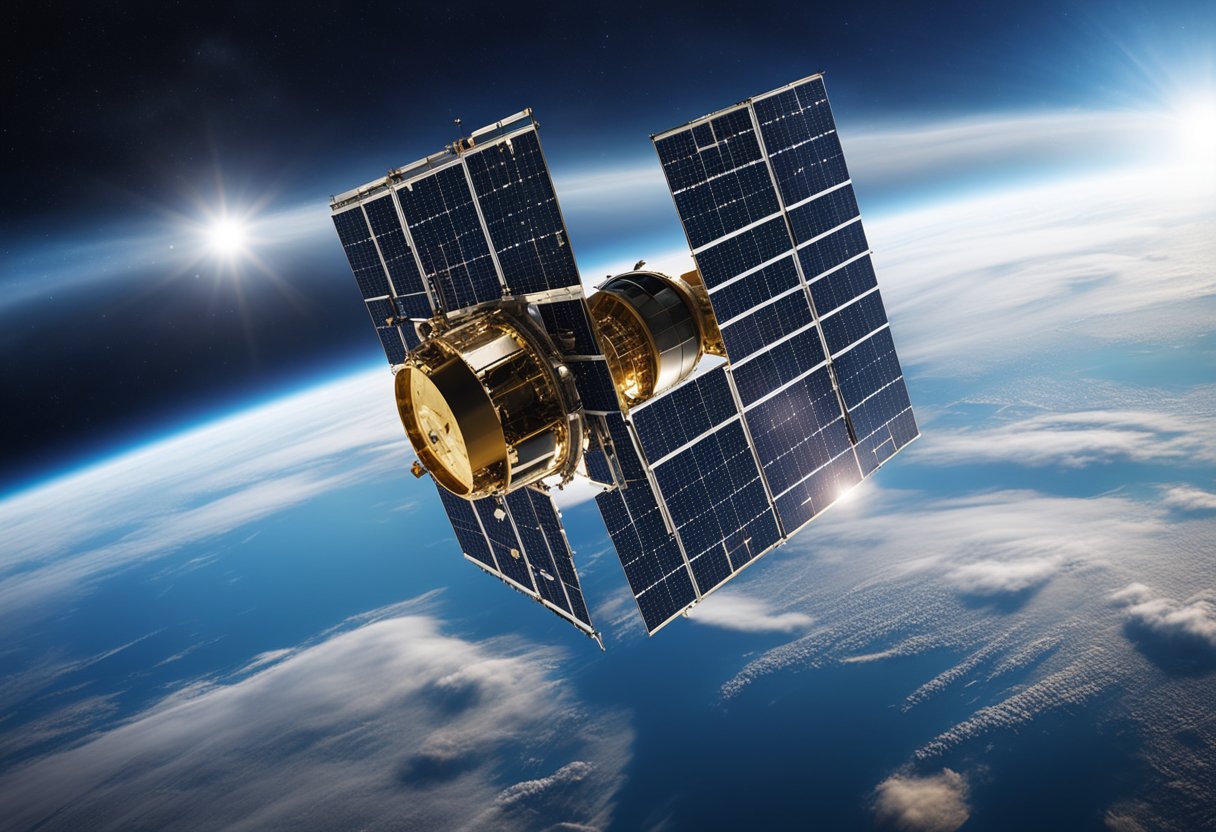
Space technology has proven to be a formidable ally in understanding and battling climate change. Through the employment of sophisticated Earth observation systems, we gain invaluable insights into the dynamic processes of our planet. Instruments on satellites can monitor global temperatures, chart changes in ice caps and forests, track ocean pollution, and observe a multitude of other indicators that are crucial for an accurate picture of climate change.

The role of NASA and its international partners in this area is critical, as they deploy technologies that can measure the myriad of components that contribute to the global climate system. These technologies include, but are not limited to, remote sensing satellites, which scrutinise the Earth’s surface, atmosphere, and oceans. As such, they play a pivotal role in documenting and understanding changes in climate patterns, the impacts of natural disasters, and human activities that can affect the environment. Our ability to harness this data makes it possible to devise effective mitigation strategies and strengthen societal resilience to climatic changes.
Climate change refers to significant and long-term changes in the average weather patterns on Earth. This phenomenon is largely attributed to increased levels of greenhouse gases, such as carbon dioxide (CO2), methane (CH4), and nitrous oxide (N2O), which trap heat in the atmosphere. The primary source of these emissions is human activity, particularly the burning of fossil fuels, deforestation, and industrial processes.
The term global warming is often used interchangeably with climate change, but it specifically refers to the rise in Earth’s average surface temperature. This temperature rise is a clear indicator of changing climatic conditions. As we observe and record these changes over time, we find that they lead to a range of environmental impacts, including more frequent and severe weather events, melting polar ice caps, and rising sea levels.
We use satellites and space technology to monitor the Earth and gather data on various aspects of the climate system. Advances in space-based monitoring have greatly enhanced our understanding of how natural processes and human activities contribute to climate change. Importantly, this technology assists in measuring greenhouse gas emissions and their effects on Earth’s climate.
Key Points:
It is our collective responsibility to address these challenges by reducing emissions and implementing sustainable practices to mitigate the impacts of climate change.
We have witnessed a paradigm shift in the approach to studying climate change, where recent developments in space technologies have been pivotal. Using these advanced tools, we are now able to capture detailed information about Earth’s climatic processes and monitor the effects of global warming with unprecedented precision.
Our capability to observe and measure Earth’s climate variables has been significantly enhanced by the use of satellites equipped with remote sensing technology. These satellites provide vital satellite data that helps us track changes in land surface temperatures, vegetation cover, and the extent of ice sheets. For instance, by harnessing the power of satellite laser altimetry, we can measure the changes in Earth’s cryosphere, which is a crucial aspect of the global climate system, influencing both the Earth’s energy budget and sea level.
Synthetic aperture radar (SAR) is a form of radar that is used to create 2-D images or 3-D reconstructions of objects, such as landscapes. The technology’s key advantage lies in its capacity to penetrate cloud cover and operate irrespective of the time of day, making it invaluable for continuous monitoring. We use SAR to assess the thickness and movement of sea ice, monitor deforestation rates, and even detect minute Earth surface movements indicative of potential earthquakes or volcanic activity.
It is crucial for us to monitor the concentrations of greenhouse gases, such as methane and carbon dioxide, which contribute to Earth’s warming. From orbit, we have the vantage point to globally track these gases, analysing their sources and sinks. Technologies such as the EMIT system installed on the International Space Station allow for the mapping of the world’s mineral-dust sources, providing insights into atmospheric composition and dynamics. Additionally, space-based Earth observation supports the monitoring and quantification of these gases as mandated by international agreements like the UNFCCC Paris Agreement.
As we explore the critical contributions to Earth science, it is evident that cooperation between NASA and its international partners is invaluable. Together, they utilise cutting-edge technology to enhance our understanding of climate change.
NASA’s Earth Science Mission Directorate spearheads numerous missions that are vital for acquiring climate insights. Notably, projects such as ECOSTRESS and EMIT acquire data on Earth’s diverse climates. ECOSTRESS, for example, measures temperature differences to observe urban heat islands, providing crucial information on how cities impact local climate. On the International Space Station, instruments like the SAGE III-ISS collect important data on atmospheric composition to better understand and monitor climate change.
Our international collaboration is exemplified by the partnership between NASA and the European Space Agency (ESA). Together, they are addressing global climate challenges through concerted efforts. The synergy of these partnerships harness the full potential of space technology transfer, as research from these cross-agency missions directly benefits our planet. By sharing resources and expertise, NASA and its partners, including those on the International Space Station, make significant strides in Earth observation and climate research.
We have witnessed formidable advances in our understanding of climate change through space technology. This section delves into the transformations observed in the Arctic ice and rising sea levels, as well as how ocean currents and thermal dynamics are being documented from space.
The retreat of Arctic ice is a manifest indicator of global warming. Satellite missions such as ICESat-2 have provided precise measurements of ice thickness and extent, highlighting a trend towards thinner sea ice and its contribution to sea level rise. Quantitative data show that increased melting correlates with the intensification of greenhouse gas concentrations in the Earth’s atmosphere.
These changes have far-reaching implications, as rising sea levels can instigate coastal erosion, flooding, and can even alter local weather patterns.
Our oceans act as gargantuan heat sinks, absorbing excess heat through complex thermal dynamics. The deployment of satellites helps us untangle the nuanced interaction between ocean currents, temperatures, and climate change. For instance, initiatives like the Surface Water and Ocean Topography (SWOT) mission aim to advance our understanding of how the ocean is modulating and responding to global warming.
Oceans, integral to Earth’s climate system, are undergoing significant transformations as they absorb more heat and carbon dioxide, which in turn affects global climate patterns.
Our understanding of the Earth’s atmosphere and its weather patterns has been significantly enhanced through the use of satellite technology. This data contributes to models that predict weather events and monitor atmospheric changes.
We harness satellite data to accurately track storms and weather patterns, contributing to our understanding of the climate system. Our sophisticated models integrate this data, allowing us to observe the development and paths of storms. For instance, NASA’s Atmospheric Infrared Sounder (AIRS) has been instrumental in tracking a record-breaking heatwave and is a vital resource for weather prediction.
Our ability to measure air pollution and aerosols with precision is another triumph of satellite capabilities. These measurements are crucial for assessing air quality and the impact of aerosols on the atmosphere. By studying the patterns and distribution of these particles, we improve our models that forecast weather changes and understand the broader implications for climate change. Satellite insights reveal the influence of aerosols on climate, such as the impact of the Sahara’s warming on mesoscale convective systems, detailed in the study reported by the Royal Meteorological Society.
In our review of space-enabled environmental oversight, we bring into focus the pivotal role of satellite technology in tracking land use changes and soil conditions on Earth.
We have observed significant transformations in land use, particularly the alarming rates of deforestation. Satellite laser altimetry, a method well-documented in scientific literature, allows us to map and measure forest coverage with unprecedented precision. For instance, changes in forest density and extent can be closely monitored, revealing patterns that signify either natural phenomena, such as wildfires, or human activities, including logging and the expansion of landfills, that carry considerable environmental impact.
As we further scrutinise Earth’s surface from above, we’ve noted areas where vegetation is stripped for agriculture or urban development. These alterations lead to habitat loss and contribute to a broader environmental change, prompting us to reassess how land is utilised and governed. The insights gleaned from space also aid in enforcing legal frameworks that protect forests and their ecosystems, as detailed by the European Space Agency.
The health of our soil is critical for sustainable agriculture and by extension, food security. Our ability to monitor soil moisture and fertility comes, in part, from the advanced imaging techniques of Earth observation satellites. Technologies like thermal infra-red sensors mentioned by Thalesgroup, enable us to check soil conditions, providing data for farmers to optimise crop yield and manage resources more efficiently.
Analysis of imagery over time also indicates how practices such as irrigation affect the local environment. By keeping watch on these changes, we can advise on agricultural methods that mitigate negative impacts, guaranteeing a balance between our need to cultivate the land and the imperative to preserve it. Our endeavours in this field not only secure our understanding of Earth’s climate but also ensure that our land remains fertile and productive for future generations.
Wildfires play a significant role in climate dynamics by releasing carbon dioxide and altering the Earth’s surface reflectivity. Through space technology, we gain invaluable insights into their impact and how best to manage them.
Satellite technology has become a pivotal tool in our arsenal against the destructive force of wildfires. By harnessing data from orbiting satellites, we are now able to monitor fire-prone regions and predict wildfire development. The LightningCast AI model is one such example, allowing us to anticipate fire incidents with remarkable accuracy, which is crucial for timely evacuations and resource deployment.
Climate Change Indicators:
Technology Applications:
Relevant data gathered by satellites not only aids in immediate firefighting efforts but also informs our long-term strategies on fire management and climate mitigation.
Post-wildfire recovery is critical for maintaining the ecological balance and mitigating future climate impacts. Satellite data is instrumental in evaluating burnt areas, tracking vegetation regrowth, and planning reforestation projects. It provides us with a detailed view of the Earth’s surface before and after wildfires, facilitating an assessment of the damage’s extent and the regeneration process.
Reforestation Data Insights:
Encouraging reforestation and monitoring its success are essential measures to ensure that areas ravaged by fires can return to their role as carbon sinks, thus counteracting the carbon dioxide emissions from wildfires and contributing to the fight against climate change.
By applying targeted reforestation efforts informed by up-to-date satellite imagery, we can aid in the Earth’s natural healing process and work toward a more stable climate system.
As we delve into the advanced space technologies of our time, we see that their capabilities extend beyond exploration; they’re pivotal in charting pollution and methane emissions back on Earth. These insights are essential in our quest to mitigate the impact of climate change.
We’ve witnessed how industrial processes contribute significantly to global emissions. Utilising satellite data, scientists are now able to track these emissions with greater precision. For instance, the Earth Surface Mineral Dust Source Investigation has been pivotal in identifying not just dust but also methane hotspots, which are instrumental in understanding industrial contributions to greenhouse gases.
Specialised missions, like NASA’s Earth space mission, are vital as they map methane ‘super-emitters’. This information is invaluable to regulators and businesses in formulating ways to control and reduce their carbon footprint. When we look at regions like California, the ability to pinpoint emissions has led to more effective policies and industrial practices conducive to environmental conservation.
With the advent of space technology, we can now map methane emissions with unprecedented detail. The MethaneSAT, an initiative developed to curtail methane pollution, acts as our eyes in the sky, highlighting regions where emissions are exceptionally high.
One critical area of monitoring is landfills, where decomposing waste releases vast amounts of methane. Through cutting-edge satellite systems, we’re now adept at identifying these hotspots, such as those across California, which are significant contributors to climate warming gases. Our capacity to map and monitor these areas facilitates targeted mitigation efforts and shapes strategies to manage methane emissions more effectively.
Our ongoing mission for exploration and understanding extends towards space tourism ventures, like SpaceVoyageVentures.com, which also contribute indirectly to our understanding of Earth’s atmosphere by raising awareness and funding for space-related research.
Our understanding of climate change continues to sharpen, thanks in part to space technology. This insight strengthens our fight against climate change with targeted mitigation strategies.
We’re making leaps in deploying renewable energy systems. Space technologies have been instrumental in this push. By employing satellite imagery and radar, we’re able to identify sites for wind turbines and solar panel installations with greater precision. For instance, radar technology aids in assessing wind patterns, which optimises the placement of wind farms to maximise energy yield.
Reducing emissions is another critical strategy. We draw support from technology transfer—applying advancements from space exploration to Earth’s challenges. For example, improvements in satellite monitoring allow us to detect and address greenhouse gas emissions more effectively. This helps in protecting the ozone layer and ensuring compliance with international emissions standards. By integrating these technologies, we are not only reducing our carbon footprint but also enhancing our overall environmental stewardship.
In our pursuit of building a sustainable future, it’s crucial that we harness innovation in space technologies to develop resilience and inform adaptation strategies for climate change. Through the use of earth observations, geospatial intelligence, and other advancements, we are able to map and analyse climate patterns with precision, which is pivotal for effective infrastructure planning and community education.
Innovation in infrastructure and urban planning is essential for enhancing resiliency against climate change. One specific area we’re focusing on is the integration of space technologies into the development of wind turbines. These turbines are designed with data from space-based sensors that monitor wind patterns, allowing for the optimal placement and improved energy efficiency.
We acknowledge the importance of educating communities about environmental stewardship to protect our home planet. With sophisticated earth observations, we can illustrate the impact of climate change on local and global scales, making the data relatable and actionable.
In the fast-paced world of climate research, we are witnessing constant advancements in how we monitor and understand climate phenomena. Our focus is on developing sophisticated tools for space exploration and utilising comparative planetology to garner deeper insights into Earth’s climate dynamics.
Through the lens of space exploration, we’ve begun to understand Earth’s climate by looking beyond our atmosphere. As we analyse the atmospheric compositions of other planets like Mars, important lessons about greenhouse gases and their impacts emerge. This comparative approach provides us a unique perspective on planetary climate systems and informs our understanding of Earth’s own atmospheric dynamics.
The pursuit of innovation has led to the creation of advanced observation technologies. Our intent is to expand our capability to monitor Earth’s climate with unprecedented precision. Instruments designed to measure subtle changes in climate indicators are set to offer us a comprehensive view of the impact of climate change. These next-generation tools embody the pioneering spirit of science and promise to transform our approach to climate research.
The integration of such tools may lead to breakthroughs that could enhance our prediction models and help us better manage our planetary home. With space stations contributing to climate monitoring, we are able to observe Earth’s water cycle and energy balance like never before.
As we progress, we remain committed to utilising these tools to not only witness climate change but also to guide us in mitigation and adaptation strategies. Our pursuit in this arena is not only a testament to human innovation but also a commitment to future generations.
In this section, we explore some of the most common enquiries regarding the interplay between space technology and climate change.
Satellites provide us with indispensable data for monitoring Earth’s climate. They track changes such as the shrinkage of polar ice caps and deforestation, giving us a comprehensive picture of our planet’s health.
Technological advancements, particularly in Space 2.0 systems, have expanded our capabilities to assess environmental impacts on Earth’s atmosphere. These include measuring atmospheric composition and monitoring human-induced changes.
NASA has furthered the study of global warming through numerous Earth-observing missions. Their efforts have provided insight into the dynamics of our climate and the various factors contributing to climate change.
Space exploration advancements such as deploying CubeSats and leveraging AI contribute to environmental sustainability by enhancing our understanding and management of Earth’s ecological systems.
Observing Earth from space equips us with unique insights that aid in formulating strategies to combat climate variation. These observations lead to actionable data, informing both policy and public awareness.
Space research unveils economic advantages by providing data essential for climate-related risk assessment and aiding businesses and governments in making informed decisions for a sustainable future.