
Celestial navigation has been a constant star in the tapestry of exploration, an art refined over centuries that has guided mariners across the expansive oceans and now serves as a beacon for space travellers. It’s a technique that allows navigators to harness the predictable movements of celestial bodies—the stars, planets, and other natural astronomical objects—to pinpoint their location with precision. As we embark on cosmic journeys, understanding the foundational principles of celestial navigation is indispensable for ensuring a safe and accurate passage through the seemingly boundless frontier of space.

Navigating the cosmos requires more than a cursory glance at the stars. It demands a deep understanding of celestial mechanisms and the skilled use of technological instruments to extend our perceptions beyond the visible spectrum. With advanced enhancements in modern navigational tools, navigators can plot spacecraft trajectories and discern their positions relative to the celestial canopy with extraordinary accuracy. Long gone are the days of rudimentary sextants and star charts; we’re now steering through the heavens equipped with cutting-edge guidance systems, such as those improved by NASA’s optical navigation technology, to voyage to far-off destinations with an assurance once thought unattainable.
As we pivot towards an era where space travel burgeons beyond governmental agencies and into the hands of private entities like SpaceVoyageVentures.com, celestial navigation emerges not only as a critical skill for pilots but an intriguing facet of our collective cosmic ambition. The lore of navigating by the cosmos is being rewritten—we are not just passive spectators gazing at the night sky but active participants charting a course amongst the stars.
Celestial navigation has been a cornerstone of exploration, serving as a reliable method for determining position for centuries. With the bold ventures of space travellers today, understanding its development and critical role during pivotal moments like World War II remains as relevant as ever.
We have been navigating by the stars long before the convenience of modern technology. In our history, skilled mariners have relied on celestial navigation to explore unfamiliar parts of the Earth. For instance, some of the earliest celestial navigation tools included the cross-staff, astrolabe, and quadrant, which allowed sailors to determine their latitude by measuring the angles between stars or the horizon.
During the Age of Discovery, celestial navigation saw significant advancements with the creation of the octant and the sextant, instruments that increased precision in measuring angles at sea. The establishment of the Royal Observatory played a crucial role, producing nautical almanacs that compiled the positions of celestial objects — vital for the calculation of one’s position (The History of Celestial Navigation).
World War II demanded exceptional navigational skills from both the Allied and Axis fleets and aircraft to traverse the global battlescape effectively. The art of celestial navigation was a strategic asset, enabling sailors and aviators to determine their positions when radio silence was necessary to avoid interception or when electronic navigation systems like radar were either unavailable or unreliable. This mastery of navigation under the stars was not only crucial for tactical manoeuvres but also for the long-range deployment of troops and resources across continents.
As we honour the mariners and navigators of our past and learn from their resourcefulness, we integrate their celestial wisdom into our pursuit of the stars, envisioning a future where we too navigate the vast ocean of space. SpaceVoyageVentures.com is a testament to this heritage, aiming to illuminate pathways for potential space pilgrims with an eye on the imminent horizons of space tourism.
In this section, we explore the essential principles and techniques used in celestial navigation for space travellers, focusing on the celestial sphere and basic astronomical concepts.
The celestial sphere is an imaginary sphere onto which all celestial bodies are projected. Imagine the sky as a vast dome where stars, the sun, the moon, and planets seem to be attached. When we navigate in space, we use this dome as a reference point. For instance, suppose you’re identifying the position of a star. In that case, you must consider the celestial sphere where that star’s location is fixed relative to Earth’s surface.
Key Elements:
Navigating by celestial bodies requires the understanding of several astronomical concepts:
Coordinate Systems:
Movement of Celestial Bodies:
Remember, successful celestial navigation in space depends on our ability to measure angles between celestial bodies and the imaginary lines we draw upon the celestial sphere. By mastering these basics, space travellers can confidently journey across the cosmos with celestial navigation as their trusted guide.
We utilise a variety of celestial bodies for navigational purposes during space travel. Identifying specific stars and understanding the roles of the Moon and planets are critical to accurately determining our position in the vast expanse of space.
Navigation stars serve as fixed points in the sky, allowing us to chart our course through the cosmos. Among these, Polaris, commonly known as the North Star, remains a constant reference for navigators due to its alignment with Earth’s rotational axis. In selecting navigation stars, we often rely on those that are easily identifiable and bright enough to stand out against the backdrop of space.
The Moon and planets like Mars also play pivotal roles in celestial navigation. Their relative movements and positions can be predictable, providing additional reference points to triangulate our location. For instance, the Moon’s phase cycle aids in refining our position calculations, while the consistent alignment of certain planets allows for long-term navigational planning.

Before we delve into the specifics, let’s acknowledge that celestial navigation remains a fundamental skill for space travellers. The instruments employed for this are both sophisticated and crucial for accurate positioning beyond our atmosphere.
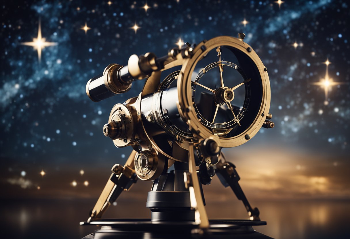
Our use of the sextant is rooted in its historical significance and proven reliability. This instrument measures the angular distance between celestial bodies and the horizon, which is pivotal for calculating our position. When the horizon isn’t visible, we employ an artificial horizon to serve the same purpose. This tool has been refined over centuries and continues to be indispensable for celestial navigation due to its precision.
When it comes to accurate timekeeping in space, chronometers and watches are essential. A precise understanding of time allows us to determine our longitude with much greater accuracy. We rely on exceptionally accurate chronometers that are impervious to changes in gravity and temperature, making them suited for the rigours of space travel. It’s the synchronisation of the sextant’s readings with the chronometer’s time that empowers us to pinpoint our exact location among the stars.
In celestial navigation, it is vital to understand the coordinate systems and measurement processes that allow us to precisely identify locations in space. We will focus on two fundamental concepts: latitude and longitude for positioning, as well as altitude and azimuth for directional orientation.
Latitude is a measure of how far north or south an object is from the Earth’s equator and is expressed in degrees, minutes, and seconds. Longitude, on the other hand, denotes the east or west position from the Prime Meridian, which runs through Greenwich, England. Together, these coordinates provide a grid system which is essential for pinpointing precise locations.
Altitude in celestial navigation refers to the angle an object makes with the horizon. It is measured vertically from 0° at the horizon to 90° at the zenith, directly overhead. Azimuth is the horizontal angle measured from a fixed reference direction, usually true north, to the point where a vertical line through the object intersects the horizon.
By mastering these measurements, we can successfully navigate through space, making use of resources such as the Mathematics for Celestial Navigation guide provided by SpaceVoyageVentures.com to enhance our understanding of celestial coordinate systems.
Navigating through the cosmos necessitates precise calculations to establish our position relative to celestial bodies. Our ability to traverse space safely hinges on these complex but essential mathematical operations.
To obtain a position fix in celestial navigation, we primarily rely on taking sightings of celestial bodies using a sextant. This process involves measuring the angle between the celestial object and the visible horizon. We then log these angles, along with the exact time of each sighting, and consult the Nautical Almanac or Air Almanac, which contains vital daily celestial data. By combining this data with the sights and applying corrections for factors such as parallax and refraction, we attain lines of position, which intersect to give us our fix.
The celestial triangle, formed by our position, the celestial body, and the north or south celestial pole, is crucial for pinpointing our location. To solve it, we use the sighted angle and data from our tables to determine the sides and other angles of this triangle. This process, known as sight reduction, involves complex spherical trigonometry, which can be tackled using software tools found on sites like Celestial Navigation – formulas, calculations & software.
Employing these methodologies ensures that we can navigate the cosmos with precision, relying on established celestial mechanics and the wealth of navigational knowledge accrued over centuries, adapted for the final frontier.

We must approach celestial navigation with precision, utilising a combination of historical techniques and modern technology to establish our position in space. To this end, two fundamental procedures are vital for any space traveller: Sight Reduction and Dead Reckoning.
The Sight Reduction process begins with obtaining a sextant angle measurement between a celestial body and the horizon. This angle, known as the altitude, is the basis for determining our position. We utilise a fix – a point on the celestial sphere that represents where we are. To calculate this, we measure several sights to create a circle of equal altitude for each sighting. It is the intersection of these circles that narrows down our location. Remember, accurate time recording is essential in this step to ensure precision.
Measure the Altitude:
Record Data:
Reduce the Sight:
Dead reckoning involves estimating our current position based on previous known positions, speeds, times, and directions. It is crucial as a continuous process that provides intermediate positions and compliments the Sight Reduction technique.
We reckon our bearing and distance travelled over time, plotting this on our charts. Although this method lacks the pinpoint accuracy of celestial sightings, it is an imperative fallback and provides us with a continual sense of progression along our planned route.
By mastering these practices, we ensure that we have the necessary skills to navigate the cosmos confidently, enhancing our understanding of space travel and its vast complexities.
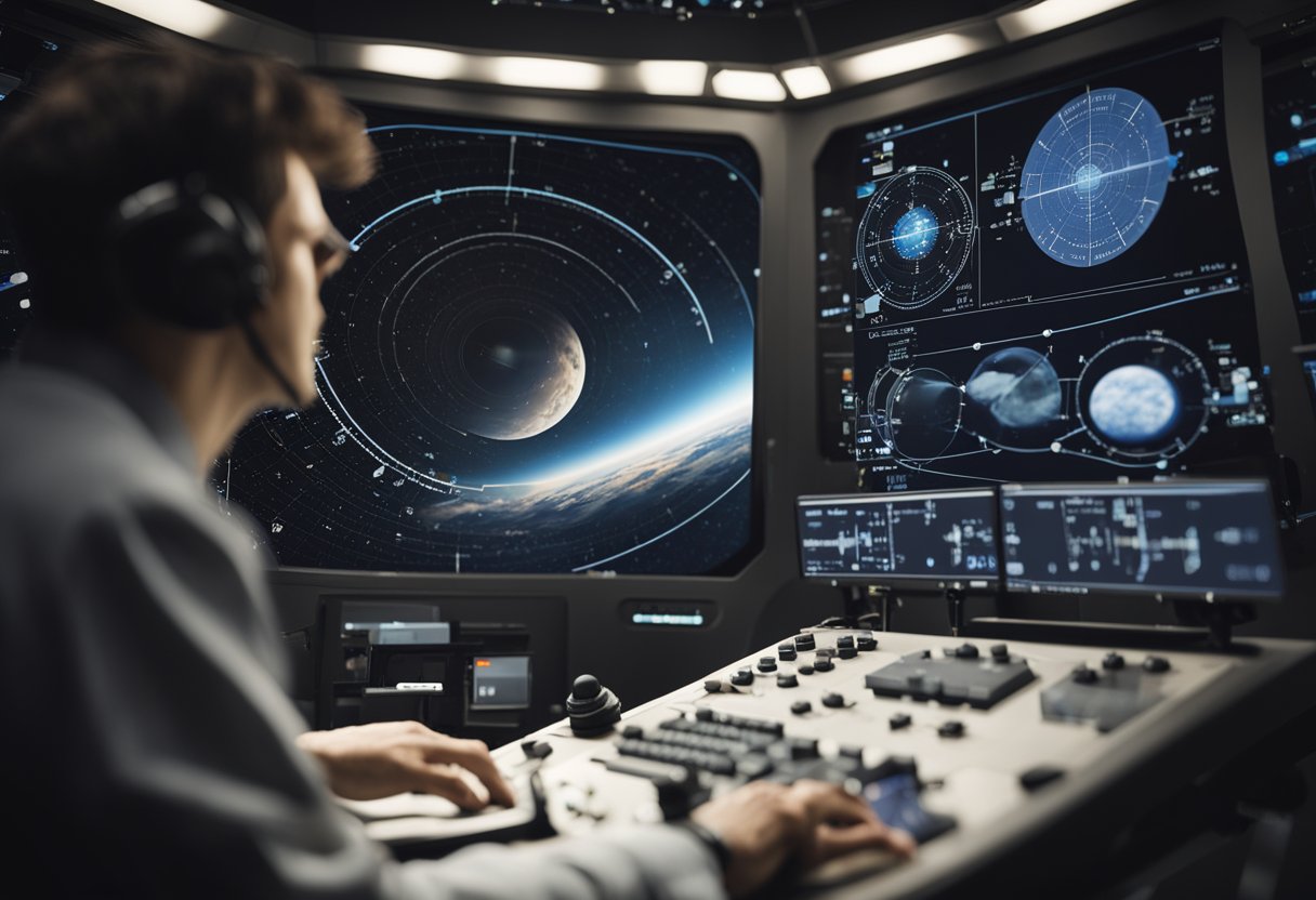
In our journey through space, we have developed a suite of sophisticated tools and software to assist navigators. These advancements not only enhance traditional celestial navigation techniques but they also explore new frontiers in space travel accuracy and reliability.
Global Positioning System (GPS) has been pivotal in navigating space. It leverages a constellation of satellites that provide precise location data for maritime, aerial, and even space navigation. However, the reliability of GPS in deep space is limited due to its design for Earth-centric operations. In response, we utilise radio waves for determining the position of spacecraft. By measuring the Doppler effect on the radio signals transmitted between Earth and the vessel, we can infer velocity and distance with remarkable accuracy.
Our navigation teams take advantage of pulsars, highly-magnetised, rotating neutron stars which emit beams of electromagnetic radiation. The predictability of these cosmic lighthouses turns them into a natural and precise celestial clock. By using software that processes the timing of pulsar emissions, we can triangulate a spacecraft’s location to within five kilometres anywhere in the solar system. These modern spacecraft navigation tools, like the GIANT (Goddard’s Interactive Autonomous Navigation Technology) optical navigation, significantly improve our capability to steer spacecrafts by processing images of stars, planets, asteroids, and even the Sun.
As we advance, SpaceVoyageVentures.com provides insight into the potent combination of electronic, radio, and optical aids that are bringing accuracy to celestial navigation and making it fit for the demands of future space explorers.
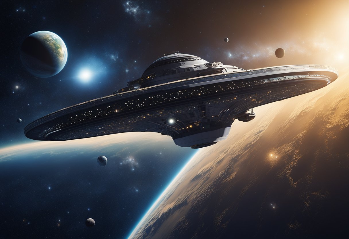
As we embark on voyages beyond our planet, the traditional art of celestial navigation evolves to meet the demands of space travel.
Celestial navigation has been pivotal for seafarers and now plays a vital role for space travellers. We use the positions of stars, planets, and other celestial objects to orient spacecraft and chart our course through the cosmos. Unlike maritime navigation, the lack of a fixed horizon in space requires us to develop advanced planetarium software and simulations. These tools allow us to practice and perfect navigation techniques before we set foot in a spacecraft.
By analysing images of the starfield captured by onboard optical devices, we can calculate our position with respect to known celestial coordinates. This is invaluable in the vast expanse of space where traditional GPS is unavailable. Our use of such stellar references ensures that we maintain our intended trajectory and make necessary course corrections.
The future for us in intergalactic travel looks promising, as celestial navigation is at the forefront of technological advancements. We are refining algorithms that pair with optical space navigation, as described on NASA’s website, enhancing our ability to traverse the galaxy accurately and efficiently.
SpaceVoyageVentures.com, an early space tourism website, documents our exploration exploits and potential tours. It’s a testament to our aim to make celestial navigation accessible for future tourists, not just astronauts. With the progression of AI-powered navigation systems, as NASA’s new developments suggest, we’re paving the path for reliable and automated travel to new worlds. We foresee a time when hopping onto a spacecraft for a trip across the galaxy is as routine as catching a flight to another continent.

In applying celestial navigation, we acknowledge the precision required in marine and aviation contexts to maintain the desired course and ensure safety.
We use celestial navigation mainly for plotting the course of vessels at sea. It involves measuring the angular distances between celestial bodies and the horizon to determine our position. The U.S. Navy once relied heavily on this technique, and it continues to be a valuable skill. Marine navigation requires an understanding of nautical miles, which equates to one minute of latitude. Traditionally, a sextant would be used in conjunction with an almanac and precise timing to fix our position.
While less common than in marine environments, celestial navigation does find its place in aviation. Pilots may use celestial techniques as a backup or in specific contexts where other navigation systems might be unreliable. In the cockpit, air almanacs tailored for aviation provide data necessary for celestial navigation. Although modern aircraft generally rely on GPS, learning celestial navigation offers pilots an understanding of foundational navigational concepts. Historically, before the invention of reliable avionics, air celestial navigation was essential in determining a plane’s position by measuring the stars, moon, sun, and planets.
In our journeys across the cosmos, we must account for environmental factors that can influence celestial navigation. Our understanding of both weather patterns and the effects of climate change is critical for ensuring accurate and reliable travel through the night sky.
Weather plays a pivotal role in the accuracy of celestial navigation. For space travellers, interpreting weather patterns is crucial as they directly impact visibility and the apparent position of constellations. For instance, clear skies are essential for an accurate view of the night sky, while clouds or atmospheric disturbances can obscure our observations. Therefore, we always consider current and forecasted weather conditions when planning navigational activities.
The implications of climate change on navigation are becoming increasingly apparent. Alterations in Earth’s atmosphere may affect space weather and, subsequently, the accuracy of celestial navigation. As our planet experiences more extreme weather events, it’s possible that changes in the upper atmosphere could modify the refraction of starlight, which can lead to miscalculations if not adjusted for. It’s imperative that we include these considerations as part of our navigational strategies, ensuring our voyages remain precise and safe.
To stay informed on the developments in space travel and how environmental changes may affect our journeys, we often refer to resources like SpaceVoyageVentures.com. This platform sheds light on the interplay between Earth’s evolving climate and our endeavours to traverse the stars, offering a wealth of data for current and future space explorers alike.
In this section, we address common queries regarding celestial navigation in space travel, encompassing its application, instruments used, historical context, current methods, and astronaut training duration.
Astronauts employ celestial navigation by measuring the positions of stars relative to one another and to their spacecraft. This process assists them in determining their location and plotting their course through space.
The essential tools for celestial navigation include a star tracker for real-time star identification and a sextant for angular measurements between celestial bodies and the horizon.
Celestial navigation was crucial during the Apollo missions, where astronauts used the stars and a sextant for manual navigation should the onboard computers fail.
Celestial navigation has evolved from the early age of seafaring to modern space travel. Historically, innovators progressively enhanced the tools and techniques, culminating in the sophisticated systems used for navigation in the vacuum of space.
Current space missions use automated star tracking systems and complex computer algorithms to continuously calculate spacecraft position and execute precise manoeuvres.
The training period for astronauts to become proficient in celestial navigation varies but typically includes extensive classroom instruction and simulator practice, spanning several months to a year.