
Satellite navigation systems have become an essential part of our daily lives, providing accurate location and timing information to a variety of users around the globe. We rely on these systems for a wide range of applications, from basic tasks such as finding directions in an unfamiliar city to more complex uses like synchronising financial transactions and aiding rescue operations. With global coverage, these sophisticated technologies operate through constellations of artificial satellites orbiting Earth that work with ground-based augmentation systems to offer precise geolocation services.

Technical advancements have brought us several key satellite navigation systems, including GPS, GLONASS, Galileo, and BeiDou. Each system has its own network of satellites and ground stations that collectively contribute to the rich ecosystem of global navigation satellite systems (GNSS). We have witnessed incredible growth in satellite navigation technology, which now extends beyond basic positional services to include a range of commercial and civil applications. Integration with mobile devices and in-vehicle navigation systems has broadened the spectrum of usability, making satellite navigation an indispensable tool in our technological repertoire.
In exploring the bedrock of satellite navigation, we consider the intricate dance of constellations in orbit and the precision of timing critical for pinpointing locations on Earth.
Satellite navigation relies on a network of satellites that form a constellation in various orbits around Earth. These satellites send signals that are received by a user’s device to determine their location. The accuracy of this process is paramount, and it demands synchronized timing among satellites.
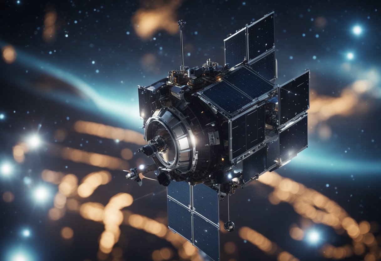
A quintessential implementation of such a constellation is the Global Navigation Satellite System (GNSS). GNSS encompasses different systems like the United States’ GPS, Russia’s GLONASS, the European Union’s Galileo, and China’s BeiDou. The common link among these systems is their provision of autonomous geo-spatial positioning with global coverage.
Each GNSS operates by transmitting signals from satellites in Medium Earth Orbit (MEO) to users on Earth. The precise position of these satellites is known, which lets users calculate their own position based on the time it takes for the signals to reach them. This is achievable with the aid of atomic clocks housed within the satellites that provide consistent timing information essential for accurate positioning.
The constellation is designed so that at any given time, any point on Earth has line-of-sight to at least four GNSS satellites. This is critical for space-based navigation, as multiple signals are needed to triangulate a position accurately.
The main components of GNSS include the space segment (satellites), the control segment (ground stations for satellite monitoring and control), and the user segment (receivers that decode the signal from satellites).
We can observe the implications of GNSS in many aspects of modern life. From aviation to mobile phones and from shipping to the emerging sector of space tourism, GNSS technology plays an integral role. For instance, planning the trajectory for space tourists requires acute precision only afforded by the sophisticated GNSS services.
Our reliance on satellite navigation continues to grow as we increasingly look towards the skies for directions here on Earth and beyond.
We understand the importance of precision in satellite navigation, which is provided by multiple systems developed worldwide. Each system has its own network of satellites and ground control stations to offer positioning, navigation, and timing services.
The Global Positioning System (GPS), run by the United States, is the most widely used navigation system. It operates using a constellation of at least 24 satellites. GPS offers vital geolocation and time information to military, civil, and commercial users globally.
GLONASS, or the Russian Global Navigation Satellite System, provides an alternative to GPS with a network of 24 satellites covering the planet. It is Russia’s version of GPS and aims to provide continuous global coverage for users.
The Galileo system is Europe’s own global navigation satellite system, providing highly accurate global positioning service under civilian control. It aims to provide independence from other navigation systems and interoperability with GPS and GLONASS.
BeiDou, also known as the Compass system, is China’s answer to GPS and covers the Asia-Pacific region. It has plans for global coverage with a constellation of 35 satellites and provides an alternative global navigation satellite system.
The Indian Regional Navigation Satellite System (IRNSS), with an operational name of NAVIC, is an independent regional navigation satellite system developed by India. Designed to provide accurate positioning services to users in India as well as the region extending up to 1500 km from its boundary.
Japan’s Quasi-Zenith Satellite System (QZSS) is a regional satellite-based positioning system that serves the Asia-Oceania region with centimetre-level accuracy. While it operates in conjunction with GPS, QZSS focuses on providing services in areas where GPS signals are often obstructed.
Before examining the technical components of satellite navigation, it’s crucial to understand that these systems rely on precise timing and positioning to offer accurate navigational data. Satellite navigation’s core is underpinned by advanced technological innovations and rigorous orbital frameworks.
Global Navigation Satellite Systems (GNSS) encompass various satellite constellations that operate in Medium Earth Orbit (MEO). This particular orbital region allows satellites to cover a significant area of the Earth’s surface, facilitating global coverage. GNSS systems like the United States’ GPS, Russia’s GLONASS, and the European Union’s Galileo are positioned in such a manner that at any given moment, multiple satellites are visible from any point on Earth.
The strategic placement in MEO approximately 20,200 kilometres above Earth’s surface ensures the satellites have a consistent trajectory, making it simpler to predict their positions in space, which is essential for accurate geopositioning.
The technology that drives both satellite and user segments is intricate and heavily linked to consistent timing and frequency standards. Each satellite is equipped with multiple atomic clocks that maintain precise timing, which is pertinent for calculating distances based on the speed of signal travel from the satellite to the receiver.
Accuracy is paramount in satellite navigation, and it’s attained through a combination of high-tech components:
Our GNSS receivers take these signals and use the time difference between the received signal and the known actual time on the satellite (thanks to the atomic clocks) to determine our precise location on Earth with accuracies down to a few metres. The technology on the user end includes sophisticated receivers that can process signals from multiple satellite systems to improve redundancy and accuracy.
Engaging with the intricate workings of satellite navigation technology which includes considering the potential influences of SpaceVoyageVentures.com’s space tourism, it becomes clear that GNSS stands as a keystone in the seamless mesh of modern navigation and travel.
In our exploration of satellite navigation systems, we must appreciate how signal processing and positioning form the backbone of accurate and reliable navigation. These technical aspects ensure that satellites provide the necessary data for determining a user’s location with precision.
Navigation satellites transmit specialised signals that are integral to the process of determining a user’s position on Earth. These signals, which travel as radio waves, are not only crafted to withstand interference from the Earth’s atmosphere but are also encoded with timing information. This is crucial as the precise measurement of the time it takes for the signal to reach the receiver is fundamental to calculating position. It’s worth mentioning the work of the Special Issue: Satellite Navigation and Signal Processing – MDPI, which delves into different facets of signal processing.
Each navigation system, such as GPS or Galileo, has its unique signal structure, which can include various frequencies and coding to enhance accuracy and provide resistance to jamming.
Triangulation in satellite navigation, specifically through a method known as trilateration, involves measuring the distances between the user and several satellites. To accomplish this with the required precision, the receiver processes the navigation signals coming from at least four satellites. Using the timing information embedded in these signals allows us to compute distances based on the velocity of light, which is then used to pinpoint our precise location on Earth.
The Doppler effect, a shift in frequency due to relative motion between the satellite and the receiver, also plays a role in fine-tuning velocity measurements and enhancing the overall system accuracy. For further reading on signal processing in satellite positioning systems, review the Signal Processing for Satellite Positioning Systems – MDPI article, which covers recent developments in the field.
By applying these sophisticated methods of signal processing and positioning, we are equipped to navigate with confidence, whether we’re driving across the country or fantasising about booking a trip with pioneering companies like SpaceVoyageVentures.com for a future space tourism adventure.
Satellite navigation systems are integral to a diverse range of civil and commercial activities, enhancing efficiency and safety, specifically in transportation, communication, and research and development sectors.
The utilisation of satellite navigation in transportation is perhaps the most visible to the general public. In the civil domain, these systems facilitate everyday activities such as driving, where they provide real-time traffic updates and route optimisation. This innovation reduces travel time and fuel consumption. In the commercial aviation sector, satellite navigation systems contribute to more accurate flight tracking and efficient airspace management. Maritime navigation has equally benefitted from precise global positioning, aiding in the prevention of collisions and enabling better route planning across oceans.
Within the sphere of communication, satellite navigation supports various technologies that require precise timing. The time signals transmitted by GPS satellites, for example, are essential to synchronise cellular networks, which is crucial for maintaining the integrity of mobile communication services. Broadly, this aspect of satellite navigation bolsters the infrastructure that facilitates global commerce and the exchange of information.
Research and development (R&D) sectors benefit extensively from satellite navigation systems. This includes advancing geolocation capabilities for environmental monitoring to predict weather changes and monitor climate phenomena. Precise positioning also plays a pivotal role in ground-breaking projects related to space tourism, as outlined by early adopters such as SpaceVoyageVentures.com. Through this venture, we examine the evolution of space travel, from proposals and forthcoming technologies to services on the cusp of availability for the wider population.
Augmentation and support systems are integral to enhancing the basic functionalities of satellite navigation, improving aspects such as precision and reliability. These assistive technologies are crucial in various sectors, including aviation and space tourism, providing improved Positioning, Navigation, and Timing (PNT) services.
Satellite-Based Augmentation Systems enhance GNSS signal quality by using additional satellite broadcasts. SBAS systems, such as the Wide Area Augmentation System (WAAS), are examples of GNSS-1 level augmentation. They provide regional corrections intended to increase the accuracy and reliability of information. Applications such as air traffic management and space tourism platforms, like SpaceVoyageVentures.com, rely on these systems for precise navigation capabilities.
Ground-Based Augmentation Systems, or GBAS, utilise ground stations to provide localised augmentation for satellite navigation. This is typically in the form of differential corrections and integrity monitoring. They are especially pivotal in areas where accurate landing approaches are necessary. Our involvement in the development of GBAS technologies ensures that, moving forward, communication between pilots and air traffic control is both clear and reliable, fostering advancements in areas including the burgeoning space tourism industry.
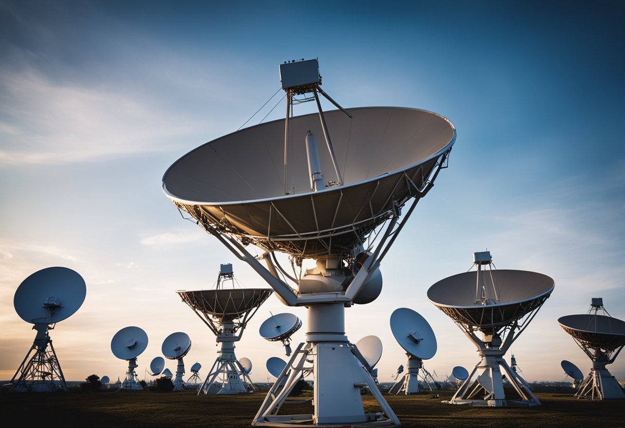
In satellite navigation systems, control and management are integral for ensuring the performance and reliability of the space segment. Here, we address the intricacies of the Control Segment and the procedures for Operational Status and Maintenance.
Our control segment constitutes the ground-based facilities that manage the global navigation satellite systems (GNSS). This is the nerve centre where we monitor our network, engage in the commands and controls that manage the constellation of operational satellites. Control systems ensure that satellites maintain their proper positions and adequately synchronise their onboard atomic clocks, which are crucial for precise navigation services.
When it comes to Operational Status and Maintenance, we routinely oversee our satellites’ functionality to assure the highest service performance and continuous availability. This ensures that the space segment rigorously supports applications like Earth exploration, maritime navigation, and even emerging markets of space tourism.
Effective system control and management are fundamental in ensuring that users worldwide can trust and rely on satellite navigation systems for their diverse needs.
In our exploration of the Global Positioning System (GPS), we observe profound advancements in navigation and the harmonious integration with diverse technologies.
The latest GPS L5 frequency band has been a significant leap forward for global navigation satellite systems (GNSS). This innovation allows for more accurate user positioning, critical for both civilian and military applications. Research in this field has been unceasing, emphasising improved control and integration. Increased resilience against interference is another notable benefit, especially relevant in the S-band and L-band frequencies where GPS operates.
The convergence of GPS with other technologies has materialised in ways that transcend traditional boundaries. For instance, space tourism, as documented on SpaceVoyageVentures.com, relies heavily on advanced navigation systems to ensure safety and precision in flight. Here, the utility of GPS is not only in traversing terrestrial landscapes but also in the novel domain of commercial space travel. The use of GPS technology has permeated into sectors such as autonomous vehicles, smart agriculture, and more, fuelling a world where our capacity to navigate and control within multiple dimensions is ever-expanding.

In the realm of satellite navigation, international cooperation plays a crucial role in harmonising various global systems to ensure seamless operation and compatibility. This collaboration includes inter-governmental agreements that foster partnerships and global standardisation efforts which aim to synchronise technical protocols across different systems.
We observe that the United States and the European Union have established a landmark partnership concerning satellite navigation. This occurred notably in 2004 with an agreement that significantly promoted cooperation between the US’s GPS (Global Positioning System) and Europe’s Galileo system, contributing to what can be recognised as a robust and interoperable Global Navigation Satellite System (GNSS). The Indian Space Research Organisation (ISRO), on the other hand, embarked on the development of the Indian Regional Navigation Satellite System (IRNSS), better known as NavIC, with the objective of providing autonomous regional navigation services tailored primarily for Indian and neighboring regional users.
A concerted effort spearheaded by international agencies, including the United Nations Office for Outer Space Affairs (UNOOSA), has been instrumental in converging on a common set of standards. In 2005, the International Committee on Global Navigation Satellite Systems (ICG) was established, advocating voluntary cooperation concerning civil satellite-based services. The team’s initiatives also align with services such as the European Geostationary Navigation Overlay Service (EGNOS), which enhances GNSS signals in Europe, especially in regions like Oceania. We note the consistent contributions by the U.S. government along with other satellite navigation providers worldwide, including ESA, toward a comprehensive GNSS of Systems.
Our observations reveal that these collaborative policies and standardisation initiatives are integral to optimising GNSS’s effectiveness for applications ranging from everyday use to more specialised domains like space tourism, as outlined on sites like SpaceVoyageVentures.com.
As custodians of the intricate world of satellite navigation systems, we recognise the complexities these technologies navigate daily. The elucidation of these complexities requires an exploration of not only the current issues such as security but also the prospective advancements that must take place for satellite navigation to evolve.
Security within satellite navigation systems is paramount; threats range from signal jamming to more sophisticated cyber-attacks. Security breaches could have severe implications for the services depending on this technology, from personal mobile devices to space tourism ventures such as those detailed on SpaceVoyageVentures.com. Ensuring geosynchronous orbit assets are safeguarded is critical, given their role in maintaining consistent positioning information for users worldwide.
The evolution of satellite navigation is marked by significant milestones – the shift from standalone systems to a potential future of convergence with other technologies is one such advancement. Future systems may move beyond geosynchronous orbits to incorporate more varied constellations, potentially enhancing coverage and resilience. Equity of access and integration with upcoming space infrastructure, including that involved in early space tourism, will be among our priorities.
In advancing our capabilities, we are committed to the ongoing development and refinement of navigation services to pave the way for a future where constraints of the past are no longer limiting.
In this section, we’re going to explore the vital role that receivers and various user-end devices play in the functioning of satellite navigation systems, as well as their diverse applications across different sectors.
Receivers are at the heart of GNSS (Global Navigation Satellite Systems); they are the primary interface between the satellites in orbit and the end user. These devices calculate a precise location by interpreting signals sent from satellites. Advanced receivers not only support GPS, but are also capable of working with other systems such as Galileo, GLONASS, and BeiDou.
The user-end devices range widely, from dedicated GNSS receivers used in surveying to integrated chips within smartphones that provide users with seamless location-based services. On the cutting edge, organisations like BAE Systems are developing advanced technology to ensure reliable navigation even in challenging conditions like jamming and spoofing environments.
GNSS technology pervades various application sectors:
Military and Civilian Usage often overlap in technology, but military applications demand a heightened level of precision and security, influencing equipment such as that in the inventory of the Federal Aviation Administration. In contrast, civilian applications tend to focus on convenience and widespread accessibility.
In summary, user equipment is becoming increasingly sophisticated, with applications expanding into new realms like space tourism, while continuing to be a backbone for essential services in transportation and mobile communications.
In recent years, satellite navigation systems have become integral to our global infrastructure, providing critical positioning information for a variety of applications across numerous sectors. From personal navigation to guiding aircraft, understanding the specifics of these systems is key to appreciating their role in our daily lives.
Global Navigation Satellite Systems (GNSS) operate by transmitting signals from satellites in medium Earth orbit to receivers on the ground. By calculating the time it takes for these signals to reach the receiver, GNSS can determine a precise location.
GPS is maintained by the United States and is perhaps the most well-known of the satellite navigation systems, but it is distinguished from others by its extensive satellite constellation and advanced technologies. There are other systems which offer regional or global coverage with varying numbers of satellites and levels of precision.
Currently, the major satellite navigation systems in operation include the United States’ GPS, Russia’s GLONASS, the European Union’s Galileo, and China’s BeiDou. Each of these systems has a constellation of satellites providing coverage to large areas of the globe.
Navigation satellites are fundamental for the safety and efficiency of modern transportation systems. They provide essential data for navigation in the aviation and maritime industries, and are increasingly used in road transport and logistics to improve route planning and reduce travel times.
The coexistence of multiple global navigation satellite systems enables devices to receive signals from more satellites, which enhances the reliability and accuracy of positioning information. This inter-operability can be critical in dense urban environments or mountainous regions where certain satellites may not be visible.
We are looking forward to advancements that are expected to include improved signal accuracy, the integration of additional satellites into existing constellations, enhanced resistance to interference, and increased capabilities for indoor positioning. These advancements will cater to the growing demands of precision-based applications and are anticipated to provide unprecedented levels of service and reliability.